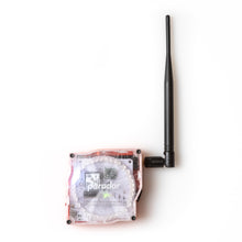
We're working to revise and restock this product. If you're interested in purchasing one, please reach out to info@paradar.co.uk to express interest, and we'll keep you up to date!
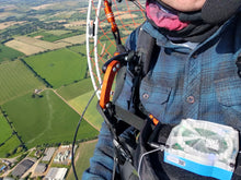
- See where planes are in the sky around you, on the ground or in the air. Suitable for paramotor, paraglider and ultralight pilots.
- Super simple. Easy traffic, navigation (direction-to-home), and pressure altitude; provides essential information on a simple ring of LEDs. No need to carry a smartphone.
- Tracks ADS-B traffic information, GPS position and barometric altitude, and can send it to other devices via WiFi. Improve the quality of your flight tracks.
- Free software updates. Paradar is an open-source project, made in the UK, and software updates will add new features and capabilities in the future.
Detects & Locates Other Aircraft
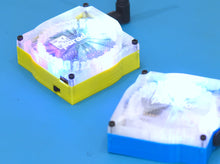
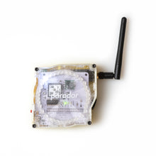
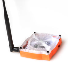
paradar works by receiving the ADS-B location transmissions sent by other aircraft. These include their GPS coordinates, which paradar uses to calculate a bearing from your position. This bearing is indicated on a bright LED display, relative to the direction you’re facing.
ADS-B is a open international standard for large and small aircraft, and in many countries (including the EU and US) transmission is required for most aircraft types.
Understand direction and distance
To indicate which aircraft are closer, paradar adjusts the colour of the indicator. Aircraft further than 15km are shown blue; closer aircraft are shown on a gradient from blue to bright red. Aircraft over 10,000ft altitude can be hidden to reduce display clutter.
paradar tracks your takeoff point and optionally indicates the direction back home with a green light.
Advanced GPS and magnetic compass
paradar incorporates a magnetic compass from PNI with an extremely high dynamic range: meaning it works reliably, even in environments with high levels of magnetic interference.
A dedicated GPS receiver and large patch antenna provides high-resolution dynamic positioning, even with rapid movement. For more accurate track recording and flight stats, this data can optionally be sent to an app (such as SkyDemon) via a GDL90 WiFi link.


